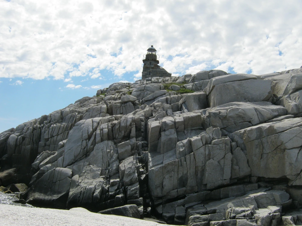
The Lighthouse trail is an easy level circular gravel trail from the parking lot to the lighthouse and back. The lower part of the trail follows the coast line and offers a view of the ocean and the granite quarry from which the stones for the lighthouse were cut. The upper part of the trail offers a panoramic view of the lighthouse, Cains Island and the communities of Rose Blanche and Diamond Cove. There are lookouts and granite rest benches along the way.
Trail
The Rose Blanche Trail
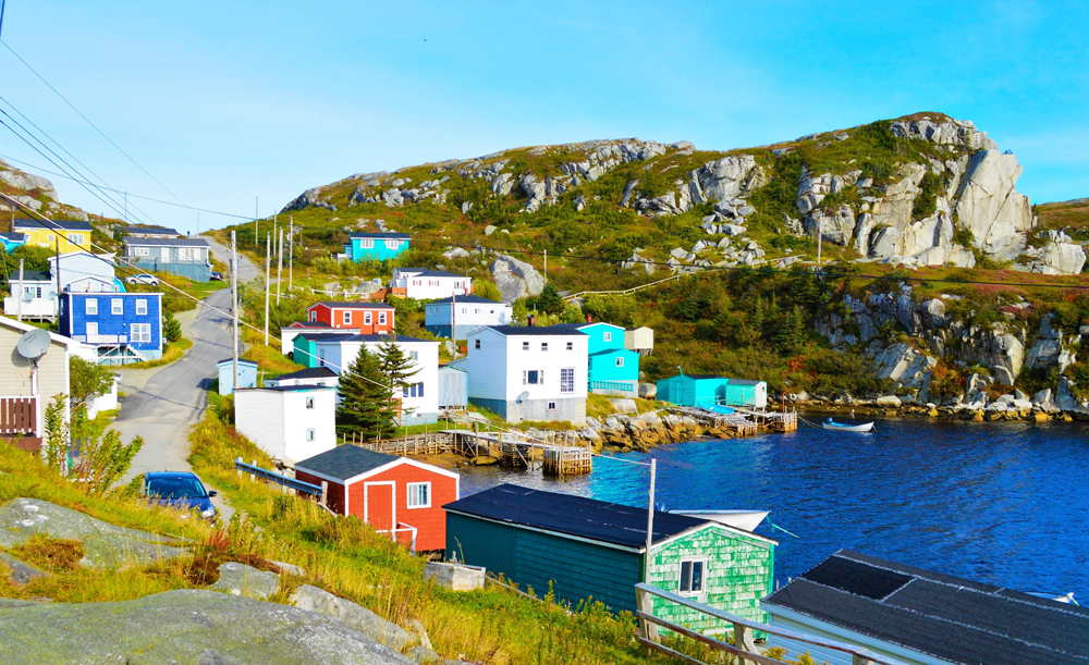
This trail also starts at the lighthouse parking lot but winds its way toward and through a part of the community of Rose Blanche known as Big Bottom. It is made up of parts of the original network of paths that were used before the highway link was constructed in 1961.
Trail
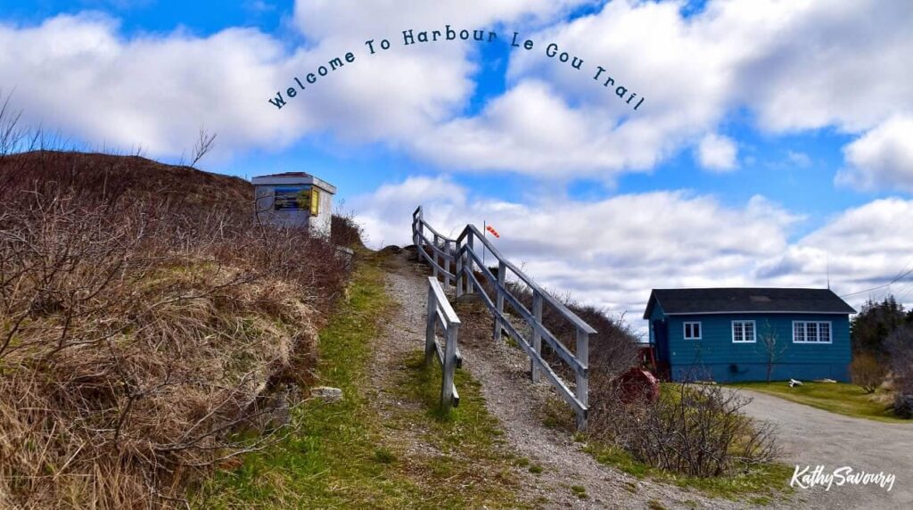
The Harbour Le Cou Trail
This easy level, 1 km gravel trail begins near the Town Hall on the road to the lighthouse. It is part of the original path that extended from St. Michael’s Church in Rose Blanche to the bottom of Beach Hill in Harbour Le Cou. A portion of the path was covered by the present highway, which was built in 1961. It has a park bench midway and a lookout with a distant view of the resettled community of Petites.
Trail
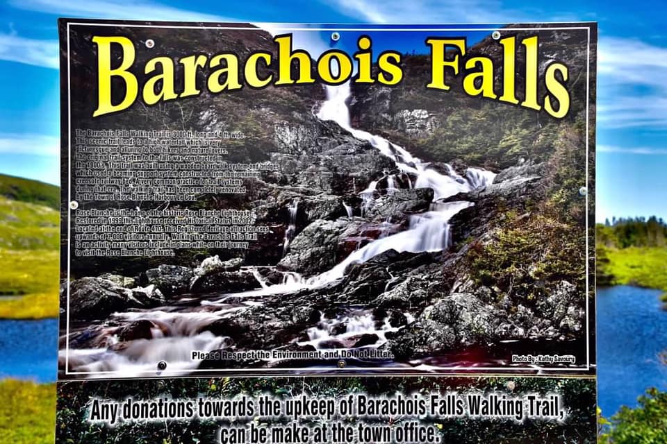
The Barachois Falls Trail
The trail is on Route 470 between Rose Blanche and Burnt Islands. It is 1.6 kms long and consists of both gravel and boardwalk sections that follow the contours of the land. At the end there is a 50 metre waterfall that can be very impressive after a rainfall.